Surveying

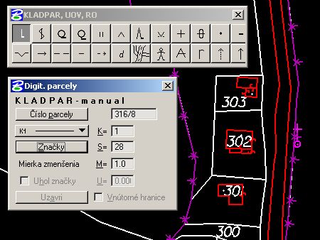
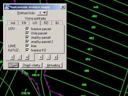
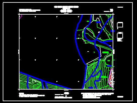
The ROEP programme is designed for elaboration of a complete cadaster map of individual cadastral areas for the Project of Land Consolidation in the Slovak Republic. The various functions enable the creation of a digital cadastral map with correct topology inclusive information of land value, primal and new holder.
The ROEP programme is an application for the MicroStation software package.

